
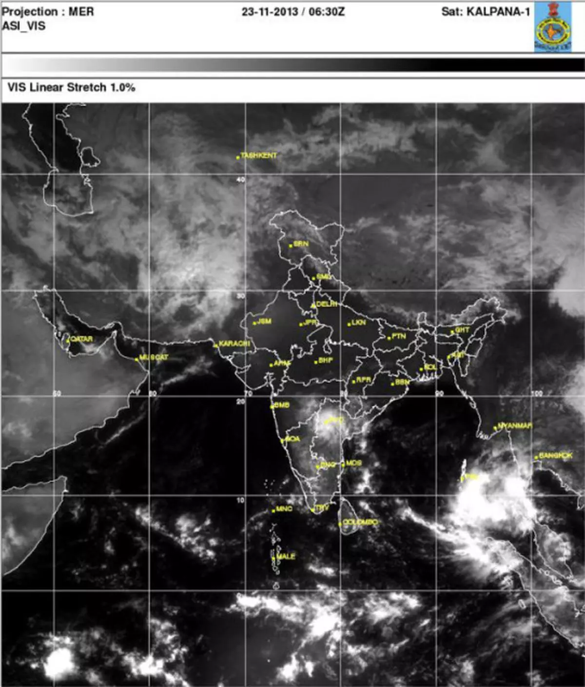
The well-marked low-pressure area 320 km southeast of Little Andaman Island has rapidly intensified into a depression.
The system has already been identified as a numbered cyclone 05B (fifth storm this season in the Bay of Bengal).
India name
For 05B, this is the immediate previous level to being accorded a name (Indian ‘Lehar’ as per protocol).
It is on its way to becoming the next tropical cyclone according to most international weather models.
‘Lehar’ is the first India name to be given to a cyclone after ‘Jal’ that hit the Andhra Pradesh and Tamil Nadu coasts in 2010.
The Joint Typhoon Warning Centre of the US Navy projects that the storm will begin to rapidly intensify after the next two days.
Destructive storm
It is blessed with the most favourable environment to grow and build in strength as it makes its way towards the coast.
It could grow into a destructive Category-3 storm (very severe cyclonic storm) on the Saffir-Simpson scale of storm intensity.
The London-based Tropical Storm Risk Group agrees with the US Navy’s outlook in this context.
The storm would pack winds speeds peaking to between 175 km/hr and 200 km/hr over the west-central Bay of Bengal by Wednesday.
Later, it may relent a bit and in fact wind down to the next level (same as ‘Helen’ that crossed the Andhra Pradesh coast yesterday).
Initial projections suggest that would-be cyclone Lehar will also head for the south Andhra Pradesh coast.
![]() Comments
Comments


Comments
Comments have to be in English, and in full sentences. They cannot be abusive or personal. Please abide by our community guidelines for posting your comments.
We have migrated to a new commenting platform. If you are already a registered user of TheHindu Businessline and logged in, you may continue to engage with our articles. If you do not have an account please register and login to post comments. Users can access their older comments by logging into their accounts on Vuukle.