
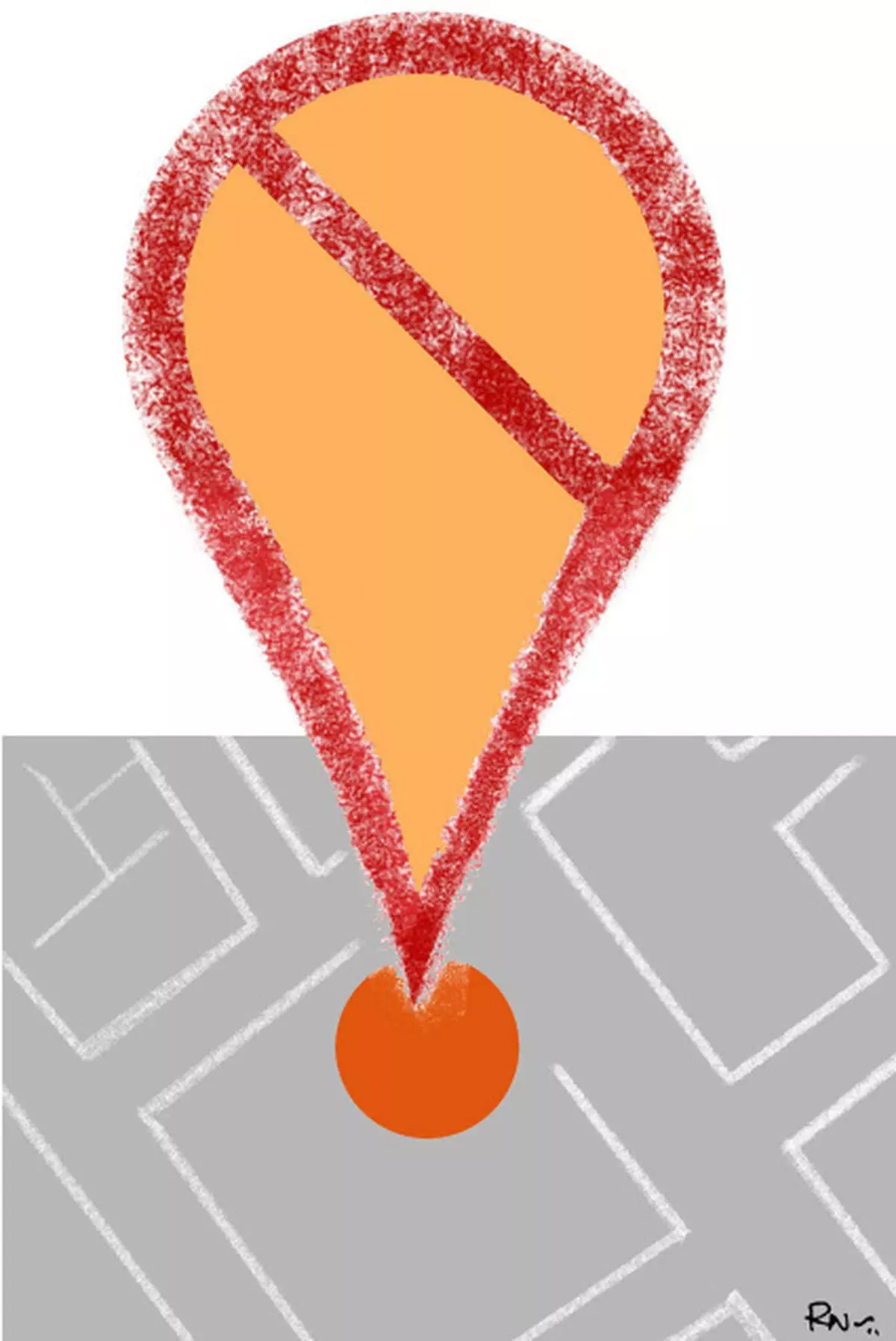
The Geospatial Information Regulation Bill has aroused a spate of controversies and discussions around its impact on big companies such as Google and Apple, businesses such as Uber, and for consumers using certain apps. Somehow, the development aspect seems to be missing from the discussion. Even the impact of such regulation on the government’s own ability to make informed policy decisions and partner with public and community-based organisations in times of crises management, has not been thought of.
India contributes a huge student population to the US, many of whom get PhDs and work in academia as scientists. However, the absence of high quality data prevents many scientists and academics from contributing to knowledge in their home country. Since the current Bill is highly restrictive in the use of geospatial data of any form, it leads to loss of knowledge.
For example, the Bill says, “no person shall disseminate or allow visualisation of any geospatial information of India either through internet platforms or online services, or publish or distribute any geospatial information of India in any electronic or physical form”.
Further, it places restrictions on the use of geospatial data even for Indians living abroad by explicitly stating: “Use of Geospatial Information of India outside India... no person shall, in any manner, make use of, disseminate, publish or distribute any geospatial information of India, outside India, without prior permission from the Security Vetting.”
The reach This implies that a scientist based in the US or in any other part of the world, who is implementing a health intervention in Bihar or UP, cannot publish a map in the journal that would give international readers a context of the study location. Geospatial information can be extremely useful in disease surveillance, detecting patterns, and predicting outbreaks of certain types.
In many situations, public and private hospitals run a surveillance system to track where their patients are coming from and then identify the population at risk within those catchments — this relies on being able to collect location data. Mobile health is another emerging area that harnesses the use of location information to track health indicators such as breast cancer screening or cervical cancer screening, number of antenatal care visits made by women, and patient outcomes.
India is already lagging behind in the availability of geospatial datasets in comparison to other nations. Take, for instance, the Open Government Data initiative under which several governments have made all datasets in the public domain available on a single portal.
The datasets are available across sectors such as health, education, transportation and energy, among others, and in formats that can be used to analyse geospatial and non-geospatial information. This is with the view that data can be used by consumers of information, for researchers and policymakers to produce knowledge and evidence based on the data, and perhaps for firms to design apps so the public can make use of this information in day-to-day decision-making.
Comparison of datasets The table shows the breakdown of geospatial and non-geospatial datasets on the Open Data portal. The US, for example, has a large number of datasets spanning across sectors such as precipitation data, health facilities locations, parks, earthquakes, elections — all of which can be used for data-driven decision-making.
Kenya has a large number of maps on their Open Data portal, displaying the distribution of health facilities and related infrastructure which can be downloaded and converted in the right format for geospatial analysis. These maps can be used to examine the distribution of health facilities and infrastructure in relation to population distribution to assess gaps in coverage. Singapore’s Open Data portal shows dengue clusters and related maps that can be used to identify high-risk populations and areas of risk during the monsoon. It also has some other interesting geospatial data such as locations of blood banks, location of parks, and clinics with community health assistants.
Similarly the Humanitarian Open Data Exchange portal, launched in 2014, aims to increase the availability of data that can be used for analysis. The portal has over 4,000 datasets from different countries, out of which more than 300 are in geospatial format. The geospatial data range from administrative boundaries of different tiers for countries, roads, railways, population settlements, rivers, health facilities, and food aid and related maps, among others.
Dealing with crises Geospatial information can also be especially helpful in times of crises management. Organisations such as Humanitarian OpenStreetNetwork (HOTOSM) work to create free and up-to-date maps for relief organisations in times of disaster or crisis. In times of natural disasters such as the earthquake in Nepal in 2015, in Ecuador this year, or the flooding in Sri Lanka, when most of the physical infrastructure is destroyed or adversely affected, HOTOSM works with a huge network of volunteers that devotes time to create digital maps to help relief organisations and governments direct resources. This presents a novel form of partnership — a public-public partnership — under which governments and public agencies work together to respond to crises.
In a survey conducted to investigate the use of geospatial information for public health decision-making in Bangladesh in 2014, it was found that several barriers limit the use of such data. The study, which got published in the Journal of Health, Population, and Nutrition earlier this year, found lack of inter-institutional collaboration among different government entities, lack of availability of skilled personnel, and lack of awareness on the use of geographic information systems to be the most critical barriers. For a resource-constrained developing country such as India, with an enormous population that lacks access to basic government services, limiting the use of geospatial data for informed policy related decision-making, is like aiming the axe on one’s own foot.
The writer is a doctoral candidate in public policy and political economy in the School of Economic, Political, and Policy Sciences, University of Texas, Dallas
![]() Comments
Comments


Comments
Comments have to be in English, and in full sentences. They cannot be abusive or personal. Please abide by our community guidelines for posting your comments.
We have migrated to a new commenting platform. If you are already a registered user of TheHindu Businessline and logged in, you may continue to engage with our articles. If you do not have an account please register and login to post comments. Users can access their older comments by logging into their accounts on Vuukle.