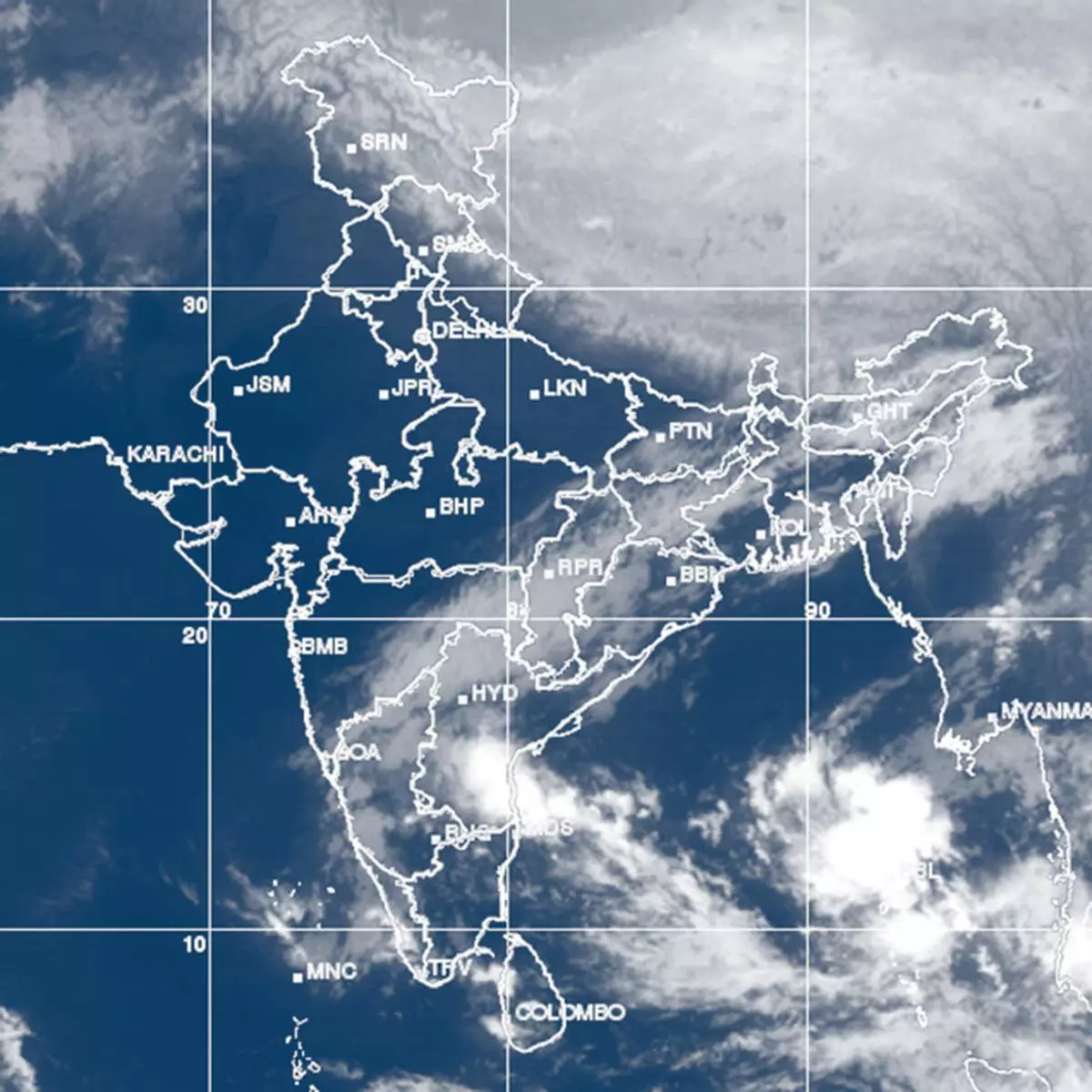
The Bay of Bengal depression crossed over the Tamil Nadu coast around midnight on Saturday bringing a vigorous spell of the North-East monsoon rain.
The depression broke up on impacting land, weakening into a well-marked low-pressure area before crossing extreme south and slipping into Arabian Sea.
HEAVY RAIN
In the process, it weakened another round into a conventional ‘low’ and lay straggled across Kerala and Lakshadweep on Sunday afternoon. Centres receiving heavy to very heavy rain (in cm) included Tiruchi (14); Chennai (12); Tiruthani (11); Puducherry (10); Dharmapuri (9) and Coonoor (7).
An India Met Department outlook said that thundershowers would continue to lash many places over Tamil Nadu, Rayalaseema and south coastal Andhra Pradesh on Monday. Rain or thundershowers have been forecast also at a few places over coastal and south interior Karnataka on Monday.
Similar conditions have been forecast for both Monday and Tuesday over Kerala and Lakshadweep by when the causative system would die out.
EASTERLY WAVE
Meanwhile, a fresh spurt of rain is expected to hit the southern peninsula from mid-week as a follow-up weather system announces its arrival along the Tamil Nadu coast.
Contrary to expectations, it would not be a full-scale low-pressure area moving in this time round. Instead, it would be a less composite but equally potent ‘easterly wave.’
In fact, a fledgling ‘low’ in the Andaman Sea has merged with comparatively loosely-knit retinue of the easterly wave that is headed towards the coast.
The wave will take mostly the same path in the sea as the depression but whose stretch leading to the coast has been cooled from associated rain.
SNOW, RAIN
The Met Department said that the wave would affect the South from Wednesday and rainfall activity would increase over extreme south peninsular India. Existing ‘low’ over Lakshadweep and adjoining areas of Kerala is expected to weaken by Monday.
Meanwhile in the North, light rain or snow would occur over at isolated places over high reaches of Jammu & Kashmir during next two days. Minimum (night) temperatures are expected to fall by another 3 deg Celsius over the Indo-Gangetic plains until Wednesday.
These temperatures may look up from Wednesday as a fresh western disturbance calls in from across the international border and brings to bear its associated warmth.

