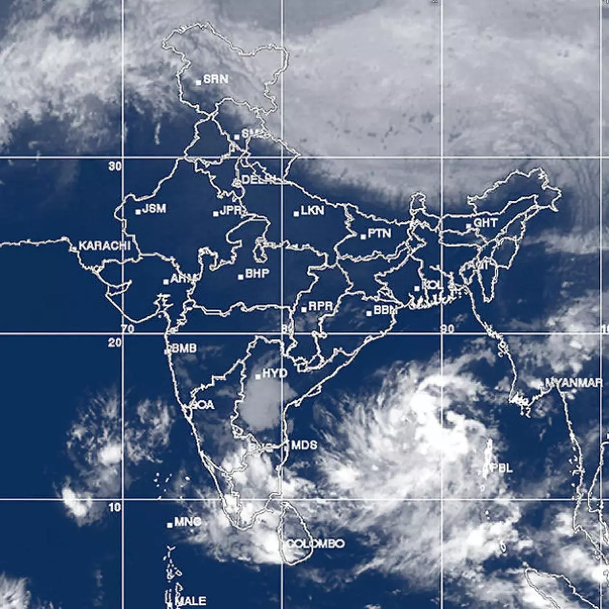
The Met Department has upgraded the outlook for a rain-generating system brewing in the Bay of Bengal back to that of a low-pressure area.
It is expected to intensify one round within the next two days with a track likely set straight towards the Tamil Nadu coast.
SYSTEM RESET
An earlier outlook had suggested that the ‘low’ would merge with a comparatively loosely knit ‘easterly wave’ and ride the Bay waters to the destination. This has now been reset by giving it status as a full-fledged ‘low’ with prospects for intensification by at least a round.
International weather models do not signal further strengthening of marked significance but does not preclude the prospects of fresh rain for the southern peninsula.
Meanwhile, the Met Department has picked yet another system developing in the south Andaman Sea by the weekend.
FOLLOW-UP SYSTEM
This too has been forecast to intensify, with a track that looks once again at Tamil Nadu, making it the third such on a trot from the last week and into the current.
US National Centres for Environmental Prediction suggests marked intensification of the system bringing heavy rain over north Tamil Nadu and south Andhra Pradesh coasts.
The sudden spurt in activity in the Bay of Bengal is being attributed to simmering waters just upstream in South China Sea/West Pacific basins.
The latest ‘storm pulse’ crossing (and setting up ‘low’ in the Bay) originated from tropical storm Podul that hit the Vietnam coast a couple of days back flooding the mainland.
WESTERLY SYSTEMS
In the North, a feeble low-pressure wave in the form of a western disturbance lay parked over Jammu and Kashmir and adjoining north Pakistan. Another fresh western disturbance would affect Jammu and Kashmir on Wednesday and Thursday.
Arrival of a western disturbance with moisture picked along the way from the Mediterranean has the effect of bringing rain/snow and lifting night temperatures.
This is because associated cloud cover blocks terrestrial radiation from escaping into the atmosphere.
During the day, however, the clouds would allow only limited solar radiation to reach the surface and puts a cap to the extent to which day temperatures can build.
Passage of the western disturbance onward to the east clears up the skies but also brings colder Arctic air wafting into the plains of northwest India bringing down the mercury.

