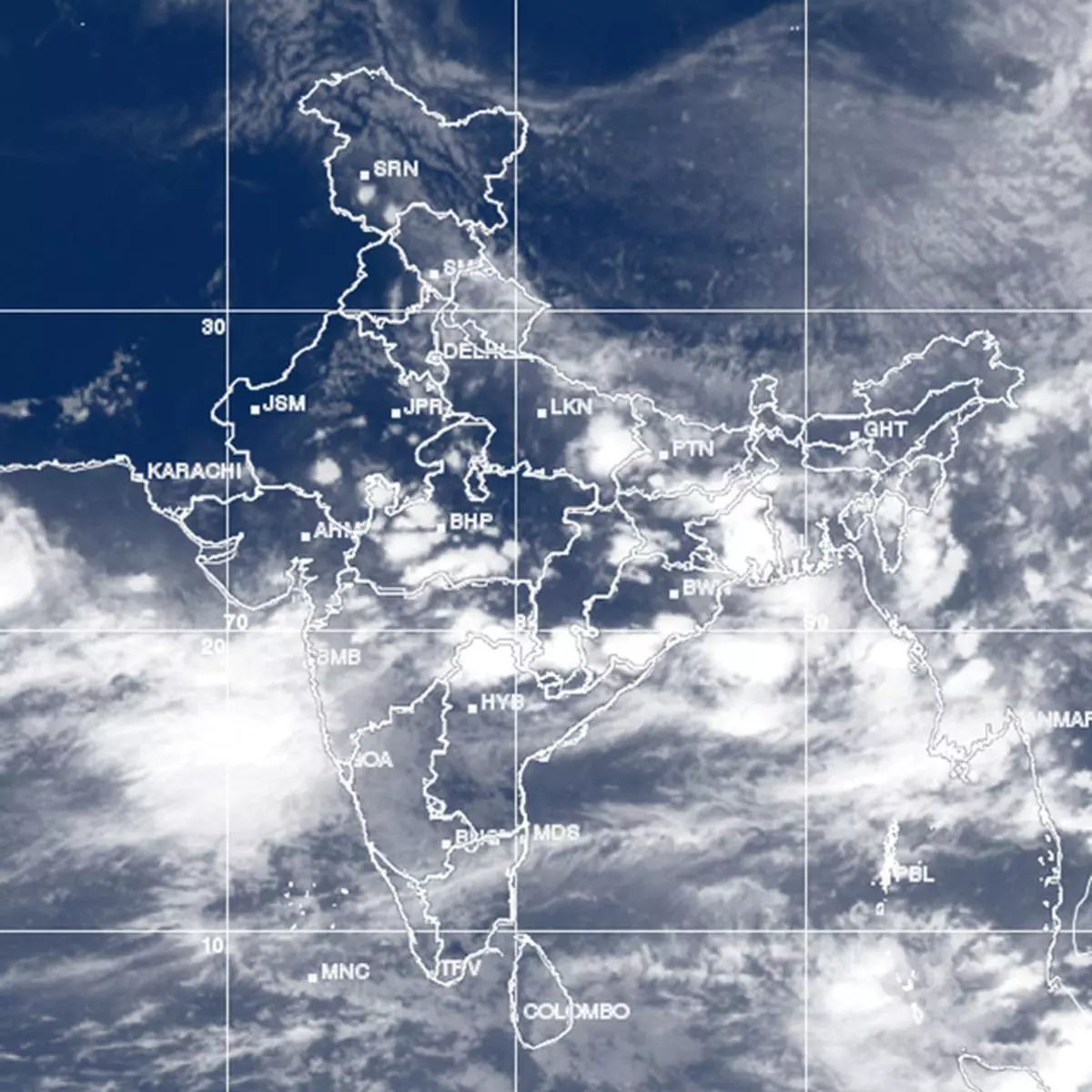
South-West monsoon is forecast to hold strong variously over West Coast, central and adjoining east India and north-west India for another 10-12 days.
Parts of North-East India; south-east Peninsula (interiors of Karnataka, Andhra Pradesh and entire Tamil Nadu) could be sole exceptions, according to forecasts by the US agencies.
BLOW-UPS SEEN
South Gujarat; Mumbai-Konkan; Coastal Karnataka and adjoining North Kerala are expected to witness heavy to very heavy showers during this period.
Also joining them would be Uttarakhand; Madhya Pradesh; Chhattisgarh; Odisha and adjoining north coastal Andhra Pradesh during June 8-14.
This would be followed by rain blow-ups over east Rajasthan, Haryana and Delhi during June 15-21 as the monsoon enters north-west India ahead of the schedule.
In this region, extreme west Rajasthan; north of Jammu and Kashmir; and parts of north eastern States might witness below just normal to below normal rainfall.
ABOVE NORMAL
The monsoon would mostly be above normal until June 20; it could relent a bit later, and trend towards the historical normal closer to July, US agencies indicated.
On Sunday, the India Met Department said that the monsoon had further advanced into Konkan; Marathawada; Telangana; southern parts of Saurashtra, East Gujarat and Vidarbha; most of Madhya Maharashtra and some more parts of South Chhattisgarh.
The northern limit of monsoon passed through Veraval, Surat, Jalgoan, Amraoti, Chandrapur, Jagdalpur, Puri, Kolkata, Jalpaiguri and Gangtok.
TROUGH HOLDS
It would advance into Gujarat; Chhattisgarh and Odisha; remaining Madhya Maharashtra, Vidarbha, West Bengal and Sikkim; and parts of South Madhya Pradesh, Jharkhand and Bihar during the next three days.
The offshore trough, an elongated area of low pressure along the West Coast, rolled out along the full length from Gujarat coast to Kerala coast indicating monsoon strength.
Along the plains of north-west India, the crucial land-based trough from west Rajasthan to Bay of Bengal was in the process of evolving.
On Sunday, it ran down from north Rajasthan to east Assam and merely needed to reorient itself so that the eastern end dipped into the Bay.
This would set up path for monsoon easterlies from the Bay to flow in and fill east and north-west India to bring rains into the farming heartland.

