
Scotland-based Hypervine, a cleantech business specialising in satellite imagery and data analytics, has launched a new unlimited satellite surveys service in partnership with the European Space Agency (ESA).
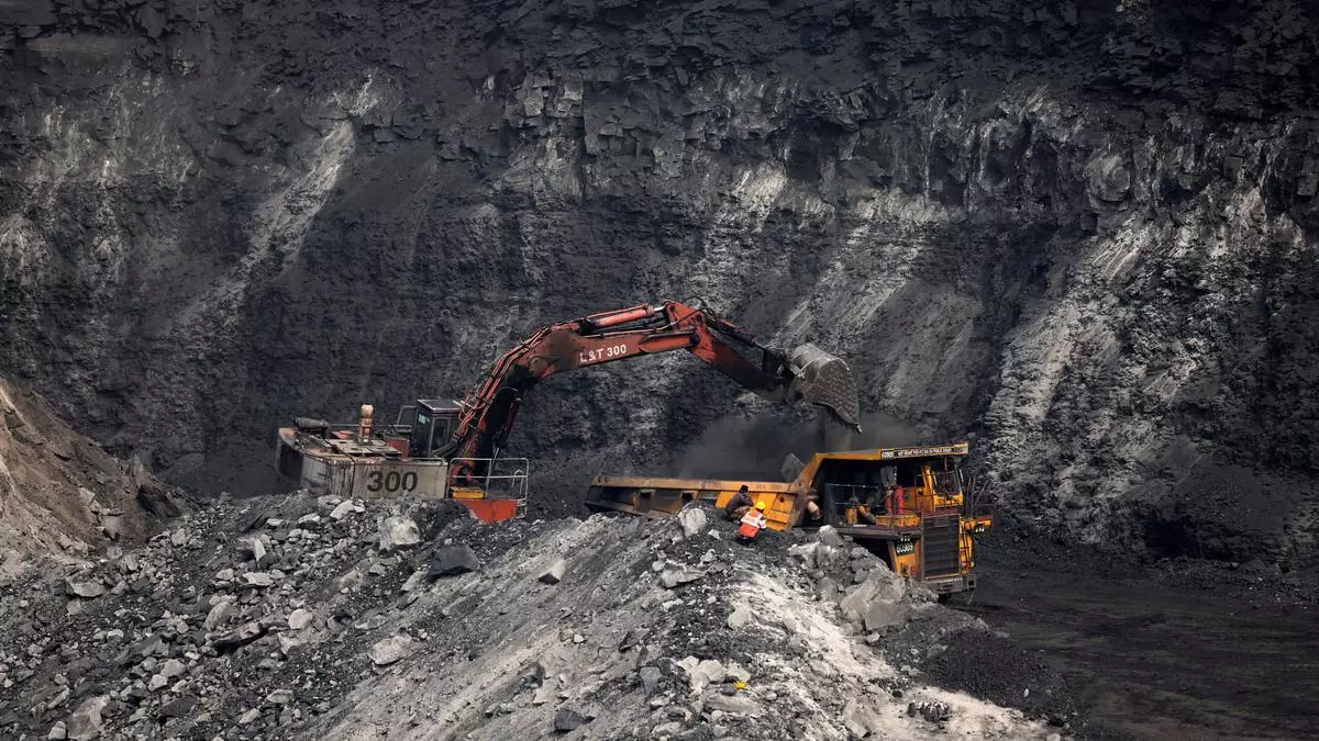
The surveys will provide cost-effective and comprehensive global data on precise mineral mapping, open pit mines and even some below ground activities and organic material monitoring, said a company statement.
Paul Duddy, CEO of Hypervine, said, “Our unlimited satellite survey service is a game-changer for investors and the mining industry. By offering detailed, accurate, and timely data at a fixed monthly cost, we are opening up new possibilities for how assets are monitored, managed, and invested in.”
The company said it was offering the service at a fixed monthly fee of £4,750. The firm claimed that the fee was lower than industry standards where one report per mine cost upwards of £5,000 each. Hypervine’s surveys can offer an alternative to existing reports with satellite-sourced imagery and data without the need of having people on-site at the mines.
A company spokesperson told businessline that the service would be available for Indian mining companies or investors in mines, besides construction firms. “The technology can be used to monitor anything from lithium, iron, other base metals etc, stocks at a mine (any mine, anywhere in India), to activity at the mine (meaning they can cross reference it with mining reports and the likes from the mining companies) to vegetation growth/loss,” he said. .
Disaster prevention
Hypervine’s surveys can be used for due diligence before traditional “on the ground due diligence”, monitoring commodity patterns, including production, activity, and environmental analysis.
Satellite surveys may help prevent or identify early disasters such as the Brumadinho Disaster and the 2020 Hpakant jade mine disaster. If such an eventuality does occur, this technology can massively support the mitigation of compounding adverse effects.
In association with ESA, it utilises advanced imaging and analytics to monitor mine activities, track changes in infrastructure, and assess environmental conditions. It offers insights into mine operations, environmental impact, and resource management for prospectors, investors, mining firms and insurers.
The service, which leverages and builds on Hypervine’s extensive database, one of the largest and most accurate collections of base metal datasets globally, includes detailed reports on ferrous metal content, land surface temperature changes, and vegetation indexes, among other key indicators.
The technology will open doors to insurance companies, mining investors and companies besides other industries to understand where the activity and outputs lie at any time.
![]() Comments
Comments


