
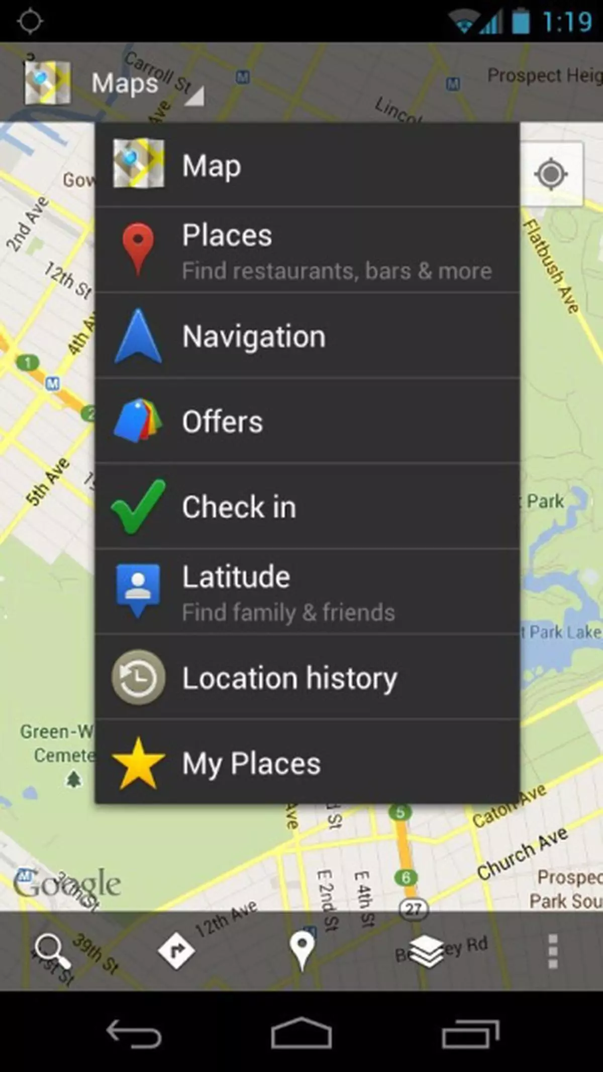
No company has been able to match the pace in which Google keeps updating its products. One of the latest updates, particularly of interest to India, is in the mobile version of Google Maps.
Google Map’s Transit mode has been in existence for quite some time and has been displaying bus routes. The latest version of the map (also in the mobile version), now displays local train timings for Delhi (Metro), Bangalore, Chennai (all local trains) and Kolkata metro.
Clicking on the station icon in any station displays the train timings. Clicking again on one of the results displays a bigger train time list. The page also lists the bus stops near the station, along with the bus routes and timings.
Google says it has “made some changes to the Transit Lines layer, so that you can select a specific mode of public transportation (train, bus, tram or subway) to display on the mobile map, hiding the other modes. This is helpful in areas where there is a tight concentration of several types of public transit.”
It is surprising how Google has been able to tap the info for bus timings, particularly for a city like Chennai, where nobody believes buses follow any time table.
The Transit option, while suggesting alternative routes (along with the distance), also gives the bus routes, the approximate time taken by each bus route, and also instructions on how to reach the nearest bus stop from your current location. You will have to enable locations to allow your device to locate you. If you are using the map in a mobile, enabling GPS will enable it to find your location better.
The maps also display local information like ATMs, pubs, restaurants, hotels, petrol pumps, shops and malls.
Google has been improving its Maps app almost every month. Though Google Navigation or traffic information is not yet available in India, it is free, and undoubtedly, the best.
dinakaran.rengachary@thehindu.co.in
![]() Comments
Comments

Comments
Comments have to be in English, and in full sentences. They cannot be abusive or personal. Please abide by our community guidelines for posting your comments.
We have migrated to a new commenting platform. If you are already a registered user of TheHindu Businessline and logged in, you may continue to engage with our articles. If you do not have an account please register and login to post comments. Users can access their older comments by logging into their accounts on Vuukle.